Thermal Imaging With UAV Drones, Using FLIR A65 / A35 / A15 / A5
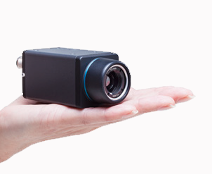 Thermal imaging with UAV drones made simple with the compact FLIR Ax5-Series a perfect solution to mount onto UAV drones for applications that require the benefits of a thermal image.
The Ax5-Series are low-cost infrared cameras, with the FLIR A5 being the most affordable. They are ideal tools for putting thermal imaging at work in a RPA environment. All models are extremely compact and have low power consumption. They can easily be integrated under RPAs.
The FLIR A65 produces crisp thermal images with 640 x 512 pixels. Users that do not need this high image quality for their application can choose for the FLIR A35, which produces thermal images of 320 x 256 pixels or for the FLIR A15, which produces thermal images with 160 x 128 pixels or the FLIR A5, which produces thermal images with 80 x 64 pixels. The FLIR Ax5-Series makes temperature differences as small as 50 mk clearly visible.
Over the last decade, the use of solar energy has expanded into a wider range of applications, 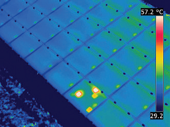 including power plants, industrial applications, buildings, telecommunications and space. The use of RPA systems for monitoring energy applications has not been researched adequately yet, due to its novelty and to the many regulations. However, RPA systems have a lot of potential for monitoring photovoltaic plants, and they can even outperform traditional industrial maintenance procedures, because they are a lot cheaper and less risky.
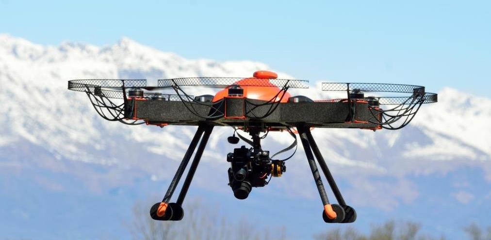
In many cases, information collection with RPAS is more reliable and precise and ten times faster than ground-based inspections. Italian RPAS constructor Nimbus immediately saw the added value, both from a technical and economic standpoint, of performing industrial inspections with RPAS, rather than with manned.
In UAV technology, sensors, and control systems by the company Nimbus have made it possible to use unmanned aerial vehicles for the inspection and monitoring across different energy plants.
If you would like some more information please fill in the box below: